Land Afritech
Secure land management and real-estate platform for the African market.

What we built
and why.
Land AfriTech helps farmers, agribusinesses, and landowners track, verify, and optimize land using AI land-mapping, satellite imagery, blockchain ownership records, and IoT sensors - all surfaced in an interactive analytics dashboard.
The problem
to solve.
Context
AgriTech · Land Management : Farmers and landowners lacked a trustworthy, data-driven way to monitor land use and prove ownership across fragmented records and manual processes.
Core Problem
The platform had to combine satellite/IoT data accuracy with transparent, tamper-proof ownership records - and stay simple enough for users with limited tech familiarity.
How we
built it.
A cloud-based build combining AI land-mapping models, blockchain ownership verification, and IoT data ingestion, presented through a responsive analytics dashboard.
Data Foundations
Designed pipelines to ingest satellite and IoT data accurately for land and crop insights.
AI Mapping
Built AI models for land mapping, boundary identification, and data interpretation.
Blockchain Records
Integrated blockchain for transparent, verifiable land-ownership and transaction history.
Dashboard & Deploy
Designed a mobile-friendly analytics dashboard and deployed on scalable cloud infrastructure.
What got
shipped.
AI models for land mapping and interpretation, a blockchain layer for ownership verification, and IoT connections for real-time soil/weather/crop data - all visualized through a responsive, cloud-hosted analytics dashboard.
Key Innovations
- AI-powered land mapping from satellite imagery
- Blockchain-secured ownership and transaction records
- IoT-enabled monitoring of soil, weather, and crop health
- Interactive analytics dashboard for real-time land insights
Obstacles Overcome
- Ensuring data accuracy from multiple satellite and IoT sources
- Integrating blockchain without slowing data retrieval
- Designing a simple UX for users with limited tech familiarity
- Managing high-volume geospatial data efficiently
What it
does.
5 core capabilities that define the product. Each engineered with a senior team, tested against real usage, and shipped to production.
Digital Land Registry
Secure, transparent records of land ownership and titles.
AI Verification
Automated tools for title verification and fraud prevention.
Virtual Marketplace
Platform for buying, selling, and leasing real estate.
Geospatial Tooling
Advanced mapping for identifying property boundaries.
Transaction Monitoring
Real-time tracking of deal progress and secure payments.
The product,
end to end.
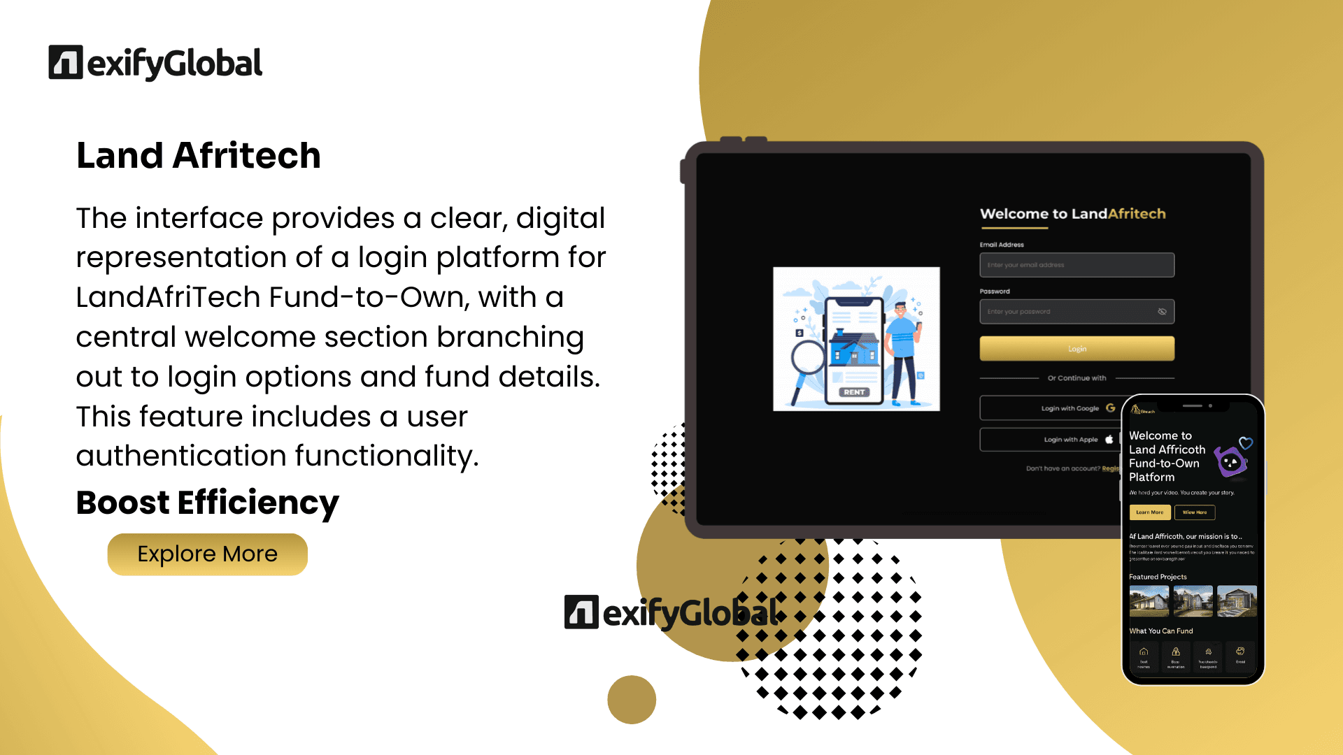
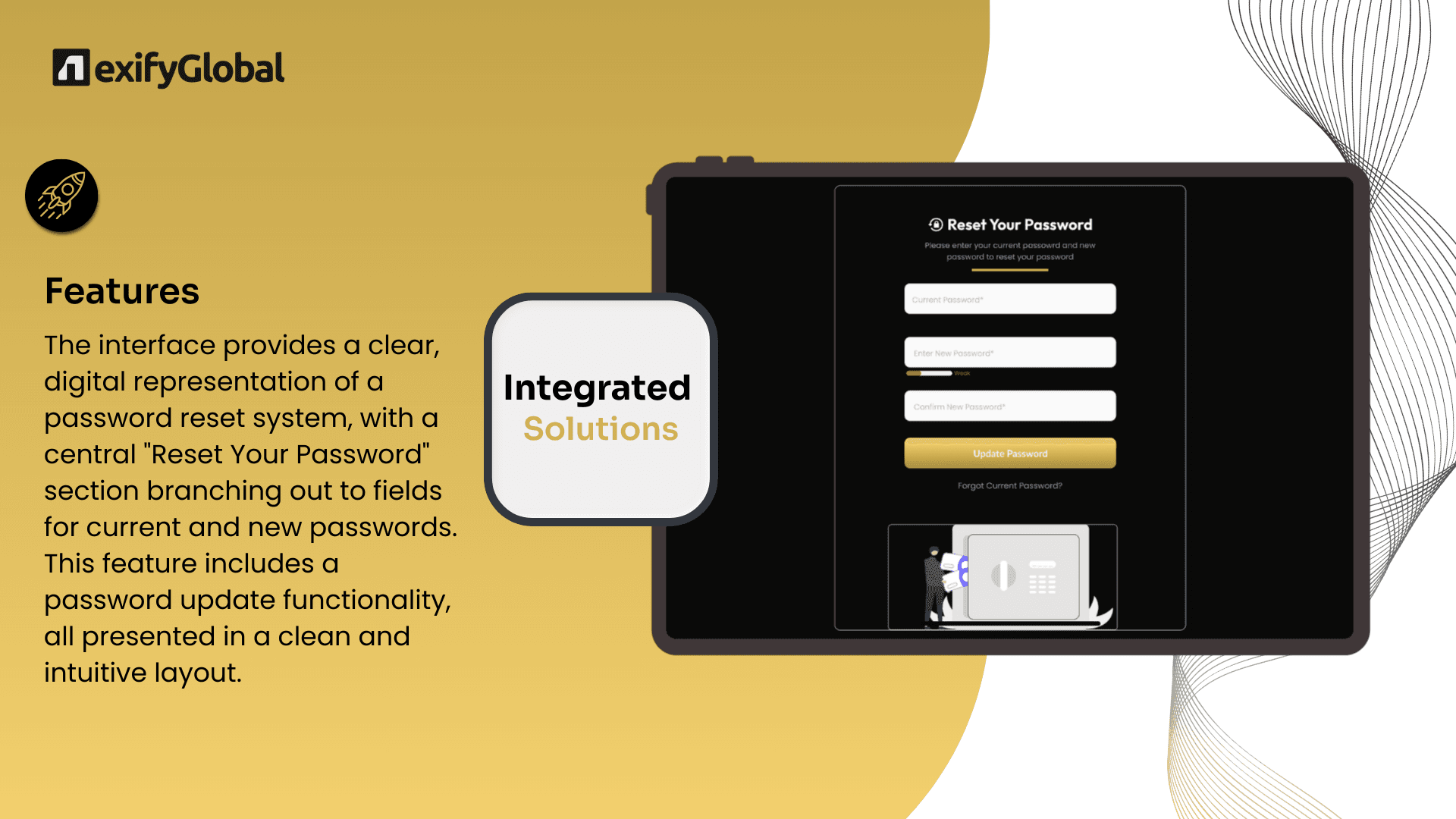
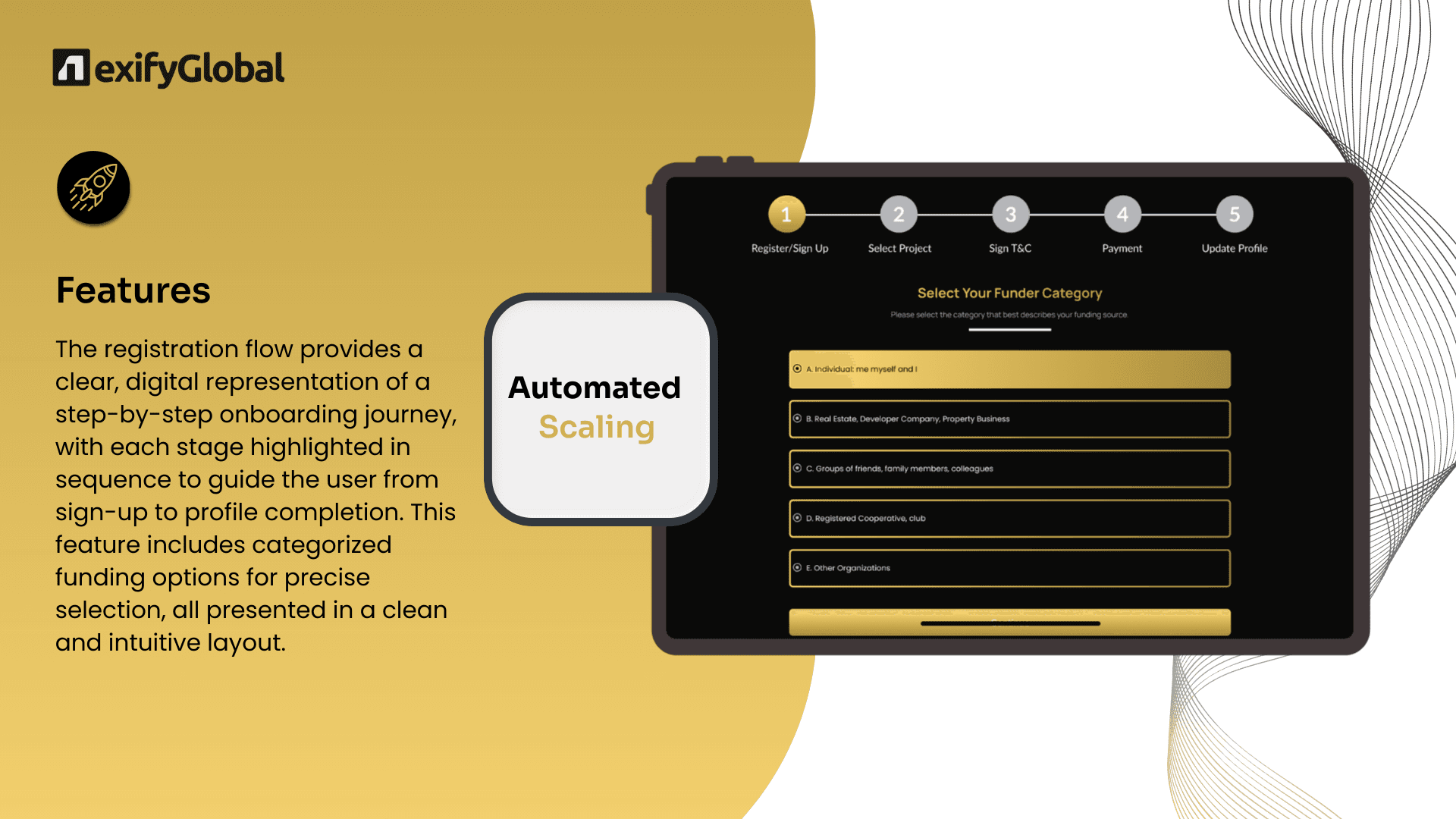
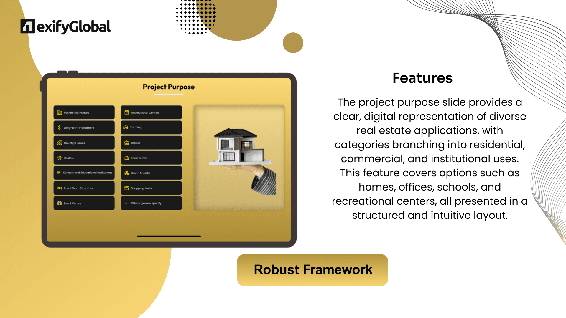
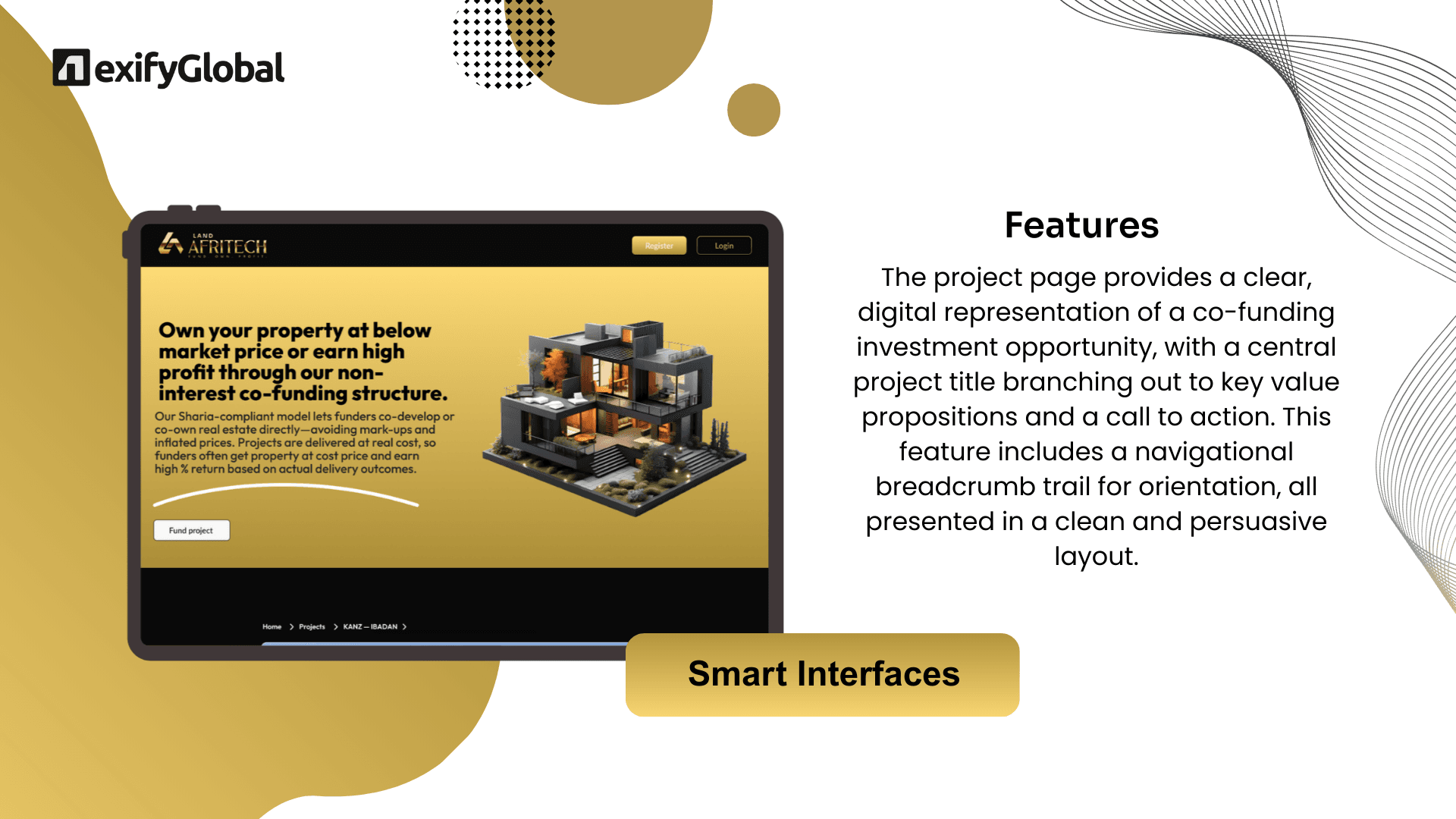
10screens from the shipped build. Every flow, every state. These aren’t renders, they’re production.

The impact,
measured.
Gave farmers and landowners a single trustworthy source for land data and ownership - replacing opaque, manual processes with transparent, AI-driven insight.
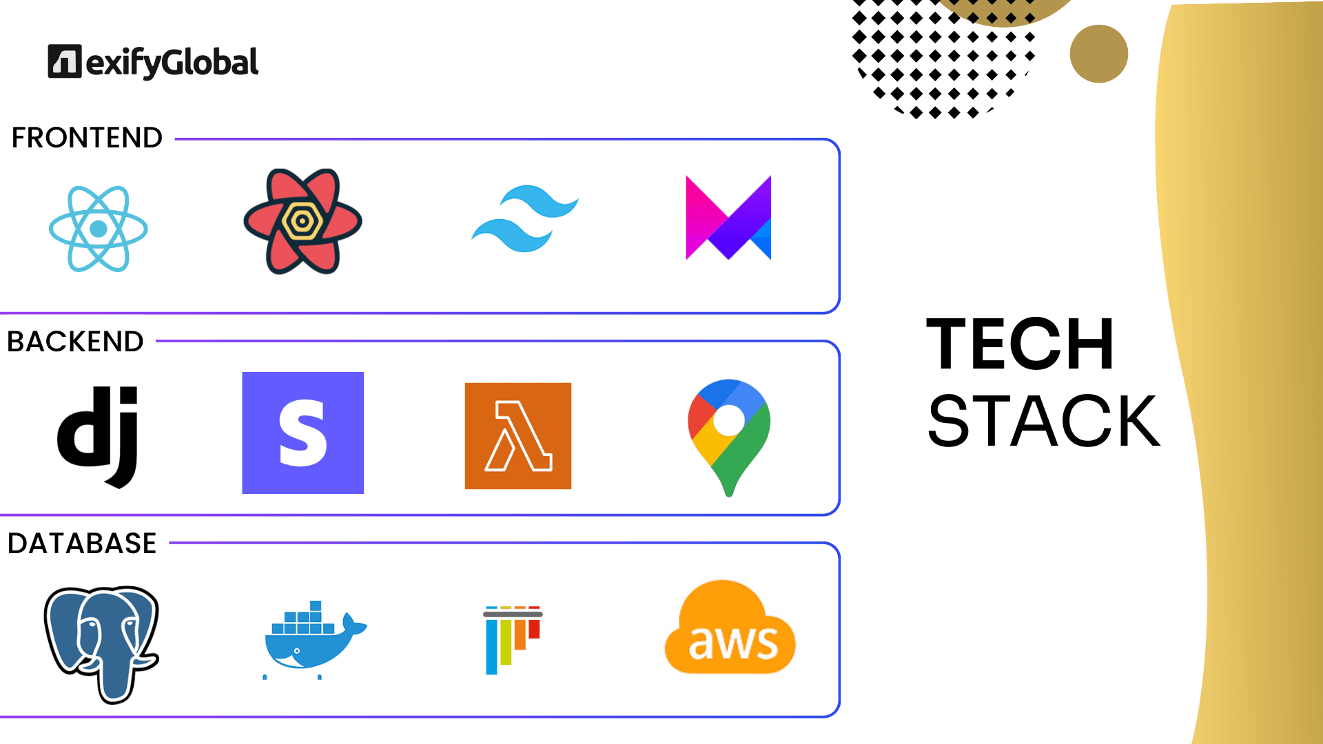
Built with.
Land AfriTech shows how AI, blockchain, and IoT combine into real-world trust: accurate data, verifiable ownership, better land decisions.
Got a project that
needs this kind of build?
Tell us the problem. We’ll tell you if it’s a 2-week sprint or a 2-month platform, honestly, in the first call.